Why this matters
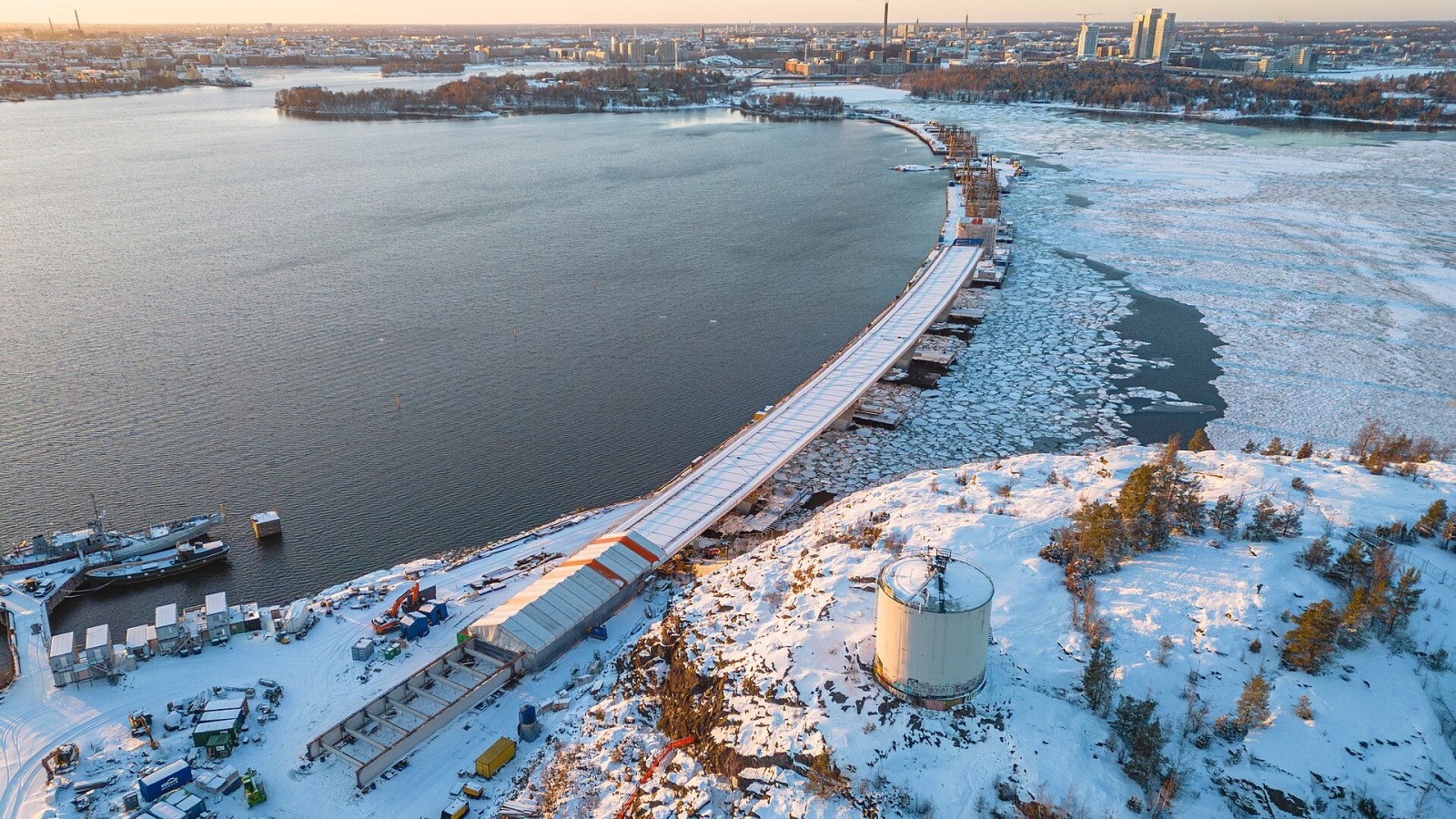
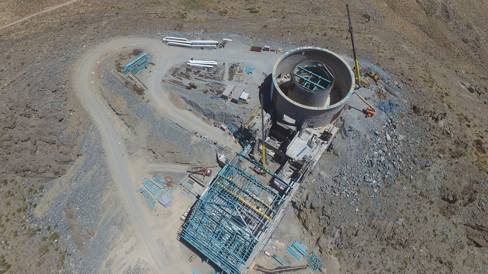
A dramatic image may communicate scale but still fail to prove measured progress. Repeatable flights, coordinates and date metadata make change easier to assess.
Before work starts
Plan viewpoints around earthworks, structures, stockpiles, access and environmental controls. Permissions, privacy, airspace restrictions and competent operation need attention before flight.
What to watch on site
Store original files and processed outputs with the reporting period. Annotate observations separately so the image is not altered in a way that obscures evidence.
Handover and the lasting record
At close-out, a structured image series can support as-built records and future maintenance. It should complement surveys and measurements rather than replace them.
Editorial note
This practical article explains a project-control issue using the official reference listed below. Requirements depend on the contract, site, approving authority and current law; the responsible registered professional should confirm the project-specific position.
What we will track next
For Drone progress photographs need fixed viewpoints and clear dates, the tool should be judged by the decision it improves. Define the required data, who verifies it, where it is stored and how the project team can export the record before relying on a platform or device.
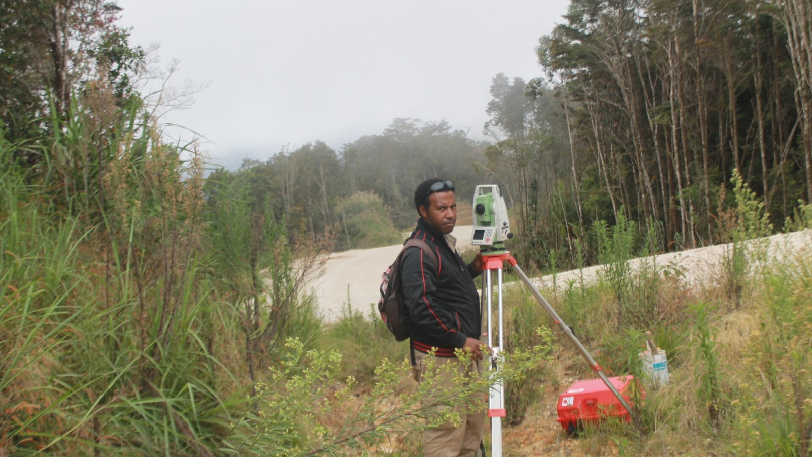
Digital information still needs field checks and clear ownership. File names, dates, locations and revision status turn images or models into evidence; without that structure, a large volume of data may add little to delivery or maintenance.
Sources
- CIDB Infrastructure Gateway System — Construction Industry Development Board